
Hi Guy's,
First this is my first post here and excuse my English since it is not perfect.
I am currently working on a war Sim and we lost our lead programer so i need to fill the gap while we found another.
I am a senior 3D,2D artist and i can script a bit and i have start learning C# last year, i am what people often call a tech artist.
So my problem is my terrain generation method in Unity, we need to represent the whole earth map in full 3d and we need to have detail coastal lines.
First i have a 16 bits raw heightmap of the whole earth with a resolution of 10,800 X 5,400 to work with and my first question is : How many tiles should i subdivide it to assemble it in Unity to maintain enough resolution for decent coastal lines detail?
My second question is what tile size should i aim for?

This image is just an example of the earth grid subdivision, the number can be anything.
The second image show what need to be detail :
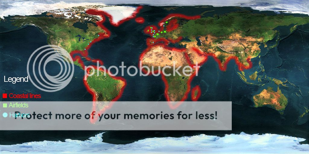
Thank for anyone who can shed some light on the correct procedure.
Target plateform is PC&Mac
Sincerly Peter


